
There is a place in Marysville that reflects the complexity of the western expansion of the United States – Historic Trails Park. This is where migration routes converged and settlers crossed the river. Today, the park serves as a place of remembrance, educational walks and tranquillity for visitors. In this article, you will learn about the historical context, key attractions, route, and tips for those who want to discover this park.
Read also:
Uri Poliavich: The Leader Who Created a Global Technology Platform
Historical significance of the site
Historic Trails Park is located at the very spot where several important migration and resettlement routes crossed the Big Blue River in the 19th century. Of particular significance is the rope ferry, which was built and operated by Francis Marshall in the 1850s. It was this ferry that allowed caravans to cross the river when the water level was suitable.
In addition, routes such as the Oregon Trail, Pony Express, Mormon migration routes, and train and mail caravan resettlement routes passed through this area. The park was established by the municipality of Marysville as a memorial to these routes, combining nature, history, and education.
How the park is organised

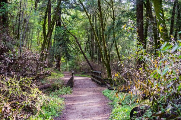
The park is not a large museum in a closed building, but an open space with memorial elements, walking paths and interpretive signs.
Key elements of Historic Trails Park:
- A replica rope ferry, symbolising the crossing of the river;
- Information boards (waysides) telling about historical trails;
- Walking paths leading along the park’s natural areas;
- Picnic areas and rest areas;
Each sign, each route, and the replica ferry itself are recognisable on their own and create a story. They are connected to each other and to the context of the road, nature, and migration. The park is located near Marysville, with access via US 77 and an access road along the dam.
Routes depicted in the park

Historic Trails Park focuses on the significance of the intersection of multiple roadways. The following themes are highlighted here:
- Oregon Trail – the main route for migrants heading west;
- Pony Express – the postal line connecting the east and west;
- Mormon Routes – the path of communities leaving the Midwest;
- Military and Settlement Roads – routes used for the movement of troops and settlers;
The park also highlights the importance of the cable ferry as a key piece of infrastructure, without which many caravans would not have been able to cross the river. All aspects are reflected through signs, diagrams, text explanations, and a route that can be followed to better understand the connection between the water crossing and the land routes.
Significance to the City
Historic Trails Park is a monument to the past and part of Marysville’s cultural identity. It serves as a reminder of transportation routes, how people crossed continents, and how crossing sites have been preserved in memory. The park is managed by the City of Marysville. Funds for maintenance, sign replacement, and landscaping involve municipal resources and volunteers.
A particular challenge is accessibility: access roads may not be in ideal condition, especially after rain. Visitors should check road conditions before visiting. Through this project, Marysville demonstrates its role as a city and as a crossroads of numerous historic routes, which enhances its tourism potential.
Comments are closed